Drones & Multispectral Cameras
Drones & Multispectral Cameras
Commercial drone pilots looking to work in the agricultural industry or in conservation should seriously consider multispectral cameras. There are, of course, several agriculture applications for standard Red Green Blue (RGB) cameras and, in some cases, even thermal cameras (counting livestock). However, neither of these optics offers as much to professionals in these industries as multispectral cameras.
The data collected using these unique payloads is accurate and powerful. With the ability to capture light outside the visible spectrum, multispectral cameras can provide agricultural professionals with real-time data that usually would take days or weeks to acquire by traditional methods. Any commercial drone pilot looking to work in the field needs to have these cameras on their UAV.
This article will take a closer look at multispectral cameras and what we can use them for as part of a drone service business. We'll discuss what multispectral imaging is and how it works. We'll then discuss a few multispectral payload options on the market and, finally, a few things you can do with them.
What is Multispectral Imaging?
So, what exactly is multispectral imaging? Simply put, in addition to capturing visible light, these cameras capture light in wavelengths outside the visible spectrum. Standard spectrums recorded by multispectral cameras are green, red, red-edge, and near-infrared.
Picture an array of cameras capturing light that we can see and light outside of what our eyes can see all at the same time.
How Multispectral Imaging Works
As a drone with a multispectral camera payload flies over a parcel, images are captured by the various camera lenses. Cameras typically have between three and six lenses, with each lens collecting a different wavelength of light.
In addition to capturing light in different wavelengths, the most accurate models also record solar irradiance. Typically, the sensor for this measurement is on the top of the drone. Solar irradiance is the level of electromagnetic radiation coming from the sun. It is the power of the sun in a given spot.
Measuring solar irradiance increases the precision of multispectral imagery. Think of this measurement as a calibration making the data more accurate.
Special software compiles the images and other measurements to give us useful data our clients can use in their farming operations or conservation efforts. Let's use plant health to describe how these cameras work in a little more detail.
Even for those of us (like myself) that lack a green thumb, we know that the greener a plant is, the healthier it tends to be. Greener plants, especially dark green plants, are an indication of high amounts of chlorophyll. Chlorophyll is the green substance in plants that allow them to convert sunlight into food.
In the case of chlorophyll, the green spectrum of light is the main band we would be studying. The amount of green light reflected is compared against established values. Plants that reflect a high level of green are healthy and those that reflect extraordinarily little green light (think brown plants that are dying) are less healthy or dead.
So, by capturing the amount of reflected green light with our multispectral camera, we can tell our client which plants are having issues and which plants are healthy.
This same type of logic can be applied to other wavelengths, which tells us different information such as soil fertility, nitrate levels, etc.
Payloads
Multispectral setups are available in turnkey solutions and as individual payloads. If you are interested in the technology, I would recommend checking with one of the many companies that sell several manufacturers' multispectral products. My personal go-to is Drone Nerds in Florida.
An excellent example of a turnkey solution with a sunlight sensor is DJI's P4 Multispectral. This drone is essentially a DJI Phantom 4 with a different payload and the sun sensor. This model measures wavelengths in visible spectrums and green, red, blue, red edge, and near-infrared.
The drone is RTK compatible and has centimeter-level accuracy. Your investment in this aircraft system will set you back around $6,500.
For individual camera payloads, there are two I recommend taking a look at. First is the Parrot Sequoia+ Multispectral Sensor. This sensor is compatible with numerous drones on the market. The Sequoia+ contains the multispectral sensor, GPS, and sunlight sensor. This little camera can record crop data, altitude, flight speed, and position without interfering with the drone platform. The cost is about $3,500.
If you already have a drone and are looking for an economical way to upgrade to a multispectral camera, check out the Sentera NDVI upgrades available through Drone Nerds. Sentera makes high-quality cameras that can fit on several DJI platforms. You can even add their agricultural data processing software (FieldAgent) to get the most out of your upgrade.
An upgrade for the Mavic Pro will cost around $2,000, while a Phantom 4 upgrade will run about $2,200.
Check out several of the larger drone sales websites to find the best deal and the product that meets your needs. Keep in mind many of these payloads are sold without the drone or the installation of the camera on the drone. Make sure to verify what you are buying works for your setup.
Use Cases
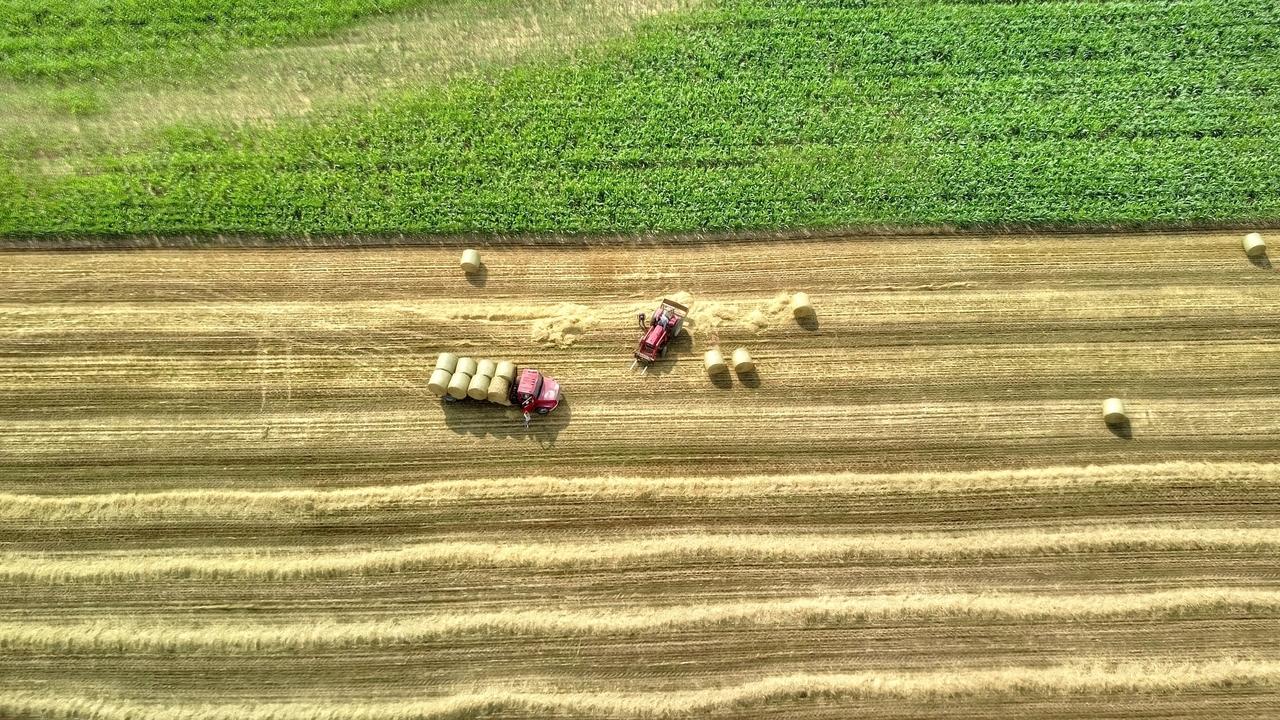
UAVs' primary use carrying multispectral cameras is in precision agriculture; however, the technology is not limited to this task alone. There are many applications in agriculture but also in a wide range of forestry and conservation roles.
As a commercial drone pilot interested in using multispectral cameras, you can choose to pursue any of the use cases listed below. Research the ones that interest you further and decide if they are a good fit for your business.
As we have already mentioned, the primary use of multispectral cameras is in precision agriculture. Other uses include monitoring the environment, measuring biomass, and forest management. We'll go further into each of these but place more of a focus on precision agriculture as this will be the primary use for most commercial drone pilots.
When we talk about precision agriculture, we are looking at growing food and managing livestock in the best manner possible. The stark reality is that the world's arable land is rapidly decreasing. The only viable solution to an increasing world population and a decreasing amount of farmland is to use the land we have as efficiently as possible.
Drones carrying multispectral cameras are ideally suited to improve the efficiencies of just about any agricultural operation. When the data from multispectral cameras is analyzed, it can provide a wide range of information leading to better plant health and soil management.
These cameras can identify certain plant diseases, common pests, fungus, and weeds. Accurate plant counts also provide information on the overall health of a crop. These counts also help with estimating crop yield. Diseased plants can be treated or removed before others are infected.
Additionally, regarding plant health, the information generated from multispectral cameras can be used to plan the use of pesticides and water better. Using too much spray or water can be bad for the environment and costly. Not enough of either could be the cause of losing an entire crop. The near centimeter accuracy of multispectral cameras highlights the needs of each plant. Farmers can target where resources are needed the most.
Soil fertility is another prominent role for this technology. In the past, soil analysis could only be conducted by manually taking soil samples and analyzing them in a lab. This method is costly and prevents farmers from making real-time changes to improve their operations.
Multispectral cameras can detect levels of nitrates, carbon, and identify other soil nutrient deficiencies. This information can help identify where nutrients need to be replaced and assist in better crop rotation.
Irrigation planning also benefits from multispectral imaging. As deficiencies in water disbursement are identified, managers can route new lines for sprinklers for more uniform water coverage across a field.
Conservation efforts and environmental monitoring are also available mission sets for rigs carrying multispectral cameras. Tree counts are important in forest management. Identifying water deficiencies can be an early sign of pest invasion, such as bark beetles.
In ecology, measuring biomass (the total number of living organisms in a region) helps tell the state of a given ecosystem. Here again, these unique cameras provide professionals in the field a tool for collecting measurements that would otherwise be much more difficult to acquire.
For forestry professionals, many of the same applications used in precision agriculture apply directly to forest management. As a result, opportunities are available in the public and private sectors for commercial drone pilots.
As an added bonus for commercial UAV pilots, multispectral imaging is a year-round service. Even in winter conditions, pilots can find work using their multispectral payloads.
Multispectral cameras are a little more expensive than standard RGB cameras, but they can drastically expand the services your drone business offers. If these payloads are interesting to you, investigate the potential clients available in your area. Especially for pilots in agricultural regions, you are likely to find many customers willing to pay for your expertise.
Meet The Author
David Daly is a graduate of the United States Naval Academy and former United States Marine Corps officer. He is a consultant to the UAV industry and runs a commercial UAV company (Vigilante Drones) and a non-profit (Vigilante Cares) which uses drones to help military veterans with Post-Traumatic Stress Disorder (PTSD).

Join Our Private FB Group Community
Access to training, education and drone industry news. Meet other like-minded drone enthusiasts, just like you!
Online Part 107 Test Prep Course | Sale
Recent Posts
