Drones in Agriculture - Precision Agriculture
The agriculture industry is growing exponentially each year, cementing itself as one of the fastest-growing markets in the commercial drone industry to date. In the past, farmers have utilized workflows that were passed down by generations without realizing that an ecosystem of aerial imagery workflows has emerged. Agricultural surveying drones are now flying more efficiently, with the ability to capture large amounts across hundreds of acres. However, with all of the advances in technology, there is still a learning curve associated with adopting new workflows.
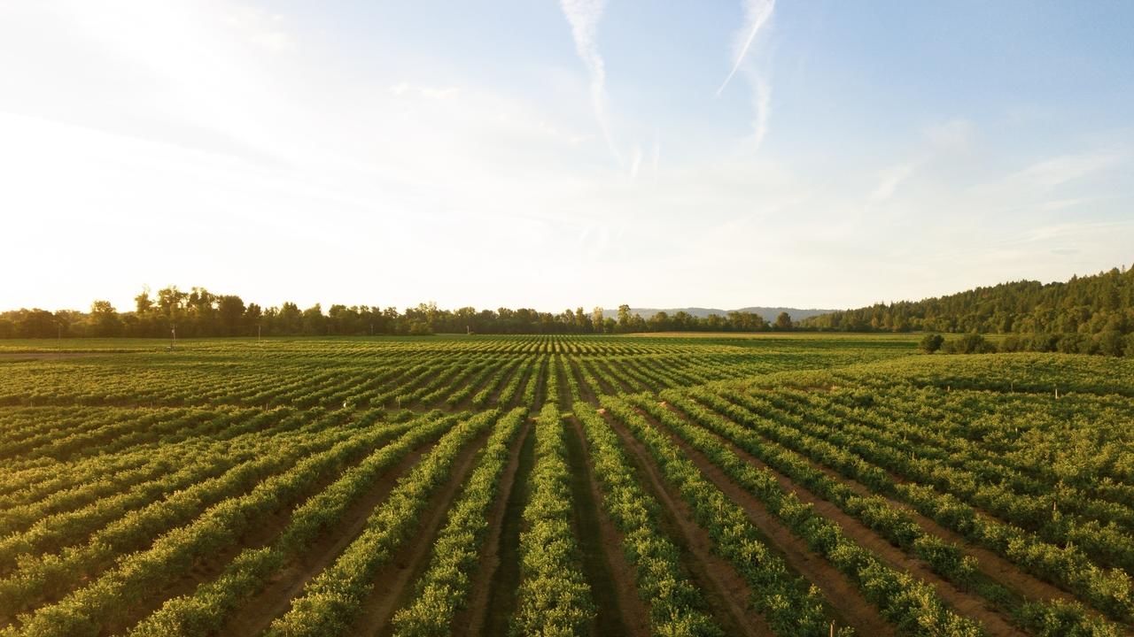
The key to precision agriculture is knowing how to utilize the data being collected in the field, ranging from detecting crop damage to predicting the yield months before harvesting.
Agricultural Surveying with Drones
Agricultural Surveying allows growers to identify areas of plant stress, detect symptoms of pest infestations and identify nutrient application issues, transforming aerial imagery into actionable data.
Both aerial service providers, and agricultural corporations are using drone technology to isolate areas where vegetation is lacking, or experiencing some form of stress. Using this data, they can determine the areas requiring immediate actions and begin to create treatment plans, resulting in reduced input costs and increased yields. Think about it: you are a farmer who is manually inspecting hundreds of acres of your crop to ensure everything is going well. This tool allows them to remotely manage their plant health and learn from accurate data to continue to improve their crop yields year over year.
The Advantages of Surveying With Drones
As agronomists become more familiar with the process of incorporating aerial imagery into their workflow, you will start to see tasks being assigned to team members with the goal of taking action immediately in the field. Using mobile tools, the staff can now navigate to identified areas more precisely by utilizing the coordinate-based data the drone provides collaborative teams.
Viticulturists worry about two things: the quality of their grapes and how many they can produce. Drone technology allows them to stay under budget and increase crop yields with very little upfront cost compared to the ROI many agronomists are seeing.
Here are some use cases we have used in the past to help improve plant growth:


If you are already familiar with how drones are being used in agriculture and enjoyed seeing some use cases stay tuned the next few weeks to learn how we have expanded our Precision Agriculture business and grown it to offer services to some of the largest agricultural firms across the United States. We would love to help you do the same.
High-Level Overview of AU's Online Part 107 Test Prep Course: The Ultimate Review
Until August 29, 2016 the rules and regulations in the U.S. were mostly unstructured in terms of the legality of flying UAV’s. Since then, the Federal Aviation Administration (FAA) has made many strides in making flying drones legal and far safer.
The Altitude University Online Part 107 Course is a test prep course aimed to help drone enthusiasts pass the exam and acquire their FAA Remote Pilot's Certificate (better known as Part 107 License) that will allow you to legally make money flying drones.

The program has been created by Brandon Trentalange who is one of the most popular entrepreneurs in the drone industry. He has over 6+ years of experience flying drones as a professional drone pilot, has consulted top corporations like NASA, Jet Propulsion Laboratory and Syngenta, and helped over 2,000+ drone operators start a career in the industry.
Join Our Private Drone Facebook Group

Join Our Private FB Group Community
Access to training, education and drone industry news. Meet other like-minded drone enthusiasts, just like you!
Online Part 107 Test Prep Course | Sale
Recent Posts
